About
Beach Track enables you to contribute to one of the world’s largest and most extensive datasets on marine strandings and beach health. Through the app you will be able to log survey tracks around the coast and submit reports of any marine animal carcases or other findings of interest that you encounter. By simply using the app on your beach walks and submitting your track and findings, you will help collect vital information about our coastal environments and survey effort. This information will help improve our understanding of the health of, and threats to marine animals, and in turn help all of us better protect our seas.
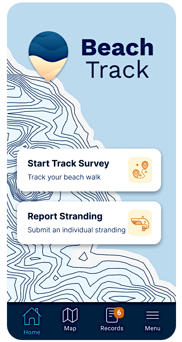
The app works as your digital assistant as you survey a stretch of the coastline. It will use your mobile phone GPS to track where you are and record searching effort while it also allows you to upload images and log anything you find along the way. Once you have completed a track, it will ask you a few questions about the beach, including how much marine litter you saw. The Beachtrack app was designed by the Scottish Marine Animal Stranding Scheme (SMASS). While the app is globally available, only records submitted in Scotland are verified at present. This might change in the near future as the app gets developed and tailored to other areas of the world.